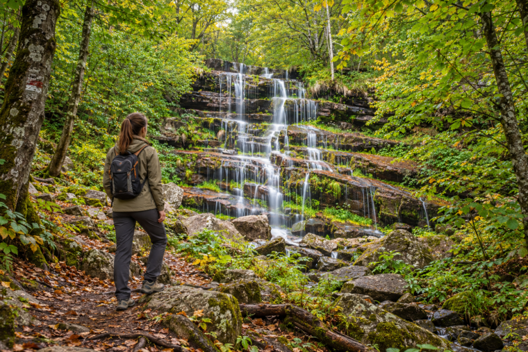

You do not need expensive equipment, exceptional fitness or years of mountain experience to discover Serbia on foot. Some of the country’s most rewarding landscapes can be reached along short forest paths, gentle riverside trails and well-marked routes that feel adventurous without demanding a difficult climb. They lead through sand dunes and vineyards, beside clear rivers, towards waterfalls, monuments and some of Serbia’s most unusual geological formations.
September and early autumn are particularly suitable for these walks. The strongest summer heat begins to fade, forests slowly change colour and popular natural attractions become quieter.
The following routes were selected for people who enjoy nature but do not usually describe themselves as hikers. None requires climbing skills or specialised equipment. However, “easy” does not mean completely effortless: uneven ground, mud, exposed roots and occasional steps are still part of the experience.
Wear proper shoes, carry water and check local conditions before setting out.
1. The Upper Kosmaj Walk: Forests, Monuments and a Mountain Without a Difficult Climb
Best for: A short introduction to walking in Serbia
Starting point: The upper Kosmaj plateau and parking area
Walking time: Approximately 45–90 minutes
Difficulty: Easy
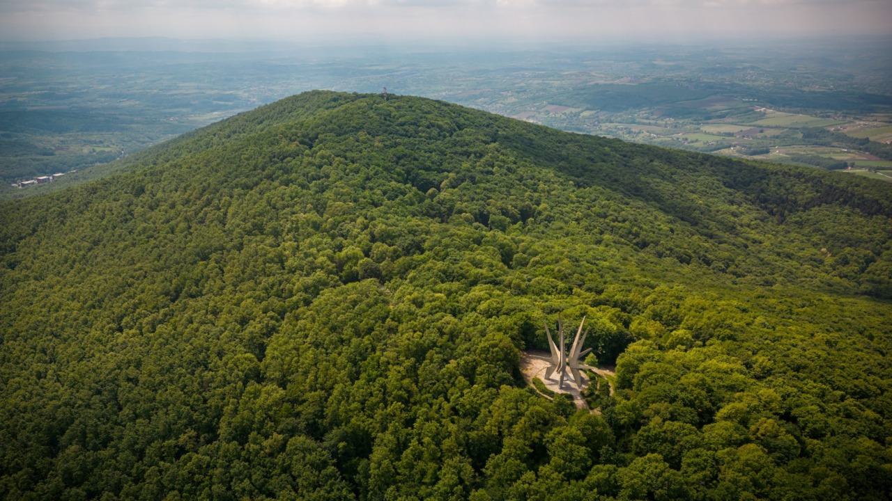
Kosmaj offers something many occasional walkers want from a mountain: dense forest, fresh air and a memorable destination without a long or exhausting ascent. Instead of beginning at the foot of the mountain, drive to the upper plateau, where several short paths connect the most recognisable sites. From the mountain pass, a wide paved path leads for approximately 500 metres through the trees to the Monument to the Kosmaj Partisan Detachment.
Its five enormous concrete arms rise unexpectedly above the forest, creating one of the most distinctive modernist memorial landscapes in Serbia. The scale of the structure is difficult to appreciate from photographs; it only becomes clear when you stand beneath it. After visiting the monument, return towards the pass and continue along one of the marked forest paths towards the Beli Kamen Memorial Ossuary. This extension adds a more natural section to the walk, with woodland paths, clearings and occasional views towards Avala and the surrounding countryside.
The route can be shortened or extended depending on your energy. Picnic tables are scattered around the upper part of Kosmaj, so the walk works particularly well as part of a relaxed day trip rather than a demanding hiking excursion. The approach to the main monument is paved, while the paths beyond it are natural forest trails.
Good to know: Do not confuse this short upper walk with the much longer trails beginning at Tresije Monastery. Those routes include more climbing and are better suited to people prepared for several hours of walking.
2. Crni Vrh, Divčibare: A Short Climb with a Mountain-Top Reward
Divčibare is one of those places where you can experience the atmosphere of a mountain without committing to a demanding day on the trail. The walk from the centre of the resort to Crni Vrh, the second-highest peak of Maljen at 1,096 metres, is a particularly good introduction.
The path passes through meadows and mixed woodland before beginning a steady but manageable ascent. There are no technical sections, and most people can reach the summit in approximately 40 to 50 minutes at a relaxed pace. The climb is noticeable, but short enough for beginners to pause whenever needed without turning the walk into an endurance test.
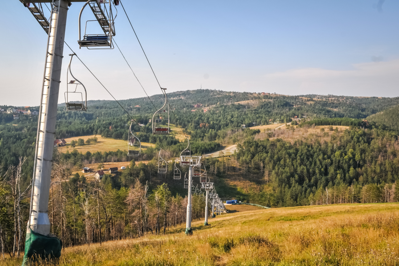
At the top, the landscape opens towards the surrounding ridges of Maljen and, in clear weather, towards Ovčar, Kablar and more distant mountains. It is the kind of view that feels disproportionate to the effort required to reach it.
The trail can become muddy after rain, so shoes with a good grip are preferable to ordinary city trainers. As markings and paths around Divčibare sometimes intersect, save the route beforehand or ask locally for the most direct path to Crni Vrh.
Walking time: Approximately 1.5–2 hours return
Distance: Around 3–4 kilometres return, depending on the starting point
Difficulty: Easy to moderate, with a continuous but gentle ascent
Best for: First-time hikers who want a real summit without a long or technically demanding climb
3. From Ćelije Monastery to Šareno Platno: A Riverside Walk Through the Gradac Gorge
Best for: Water, shade and a walk that can be shortened at any moment
Starting point: The riverside area below Ćelije Monastery
Distance: Approximately 4 kilometres return to Šareno Platno
Difficulty: Easy, with uneven and potentially wet sections
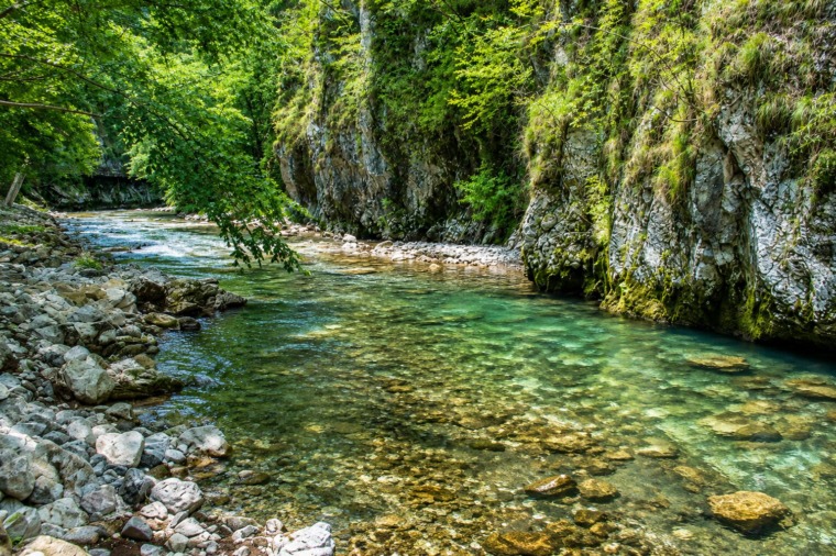
The Gradac River offers a completely different kind of walking. Instead of climbing towards a summit, the path follows one of western Serbia’s most beautiful river valleys. Clear water moves between rocks, small cascades interrupt quieter pools and the trail passes through forest and open meadows beneath the gorge’s steep sides.
A complete marked route from Valjevo to the source of the Gradac is 8.8 kilometres long and takes around three hours in one direction. It includes several climbs and is too long for many beginners. The more suitable alternative is to begin near Ćelije Monastery and walk upstream only as far as Šareno Platno before returning the same way.
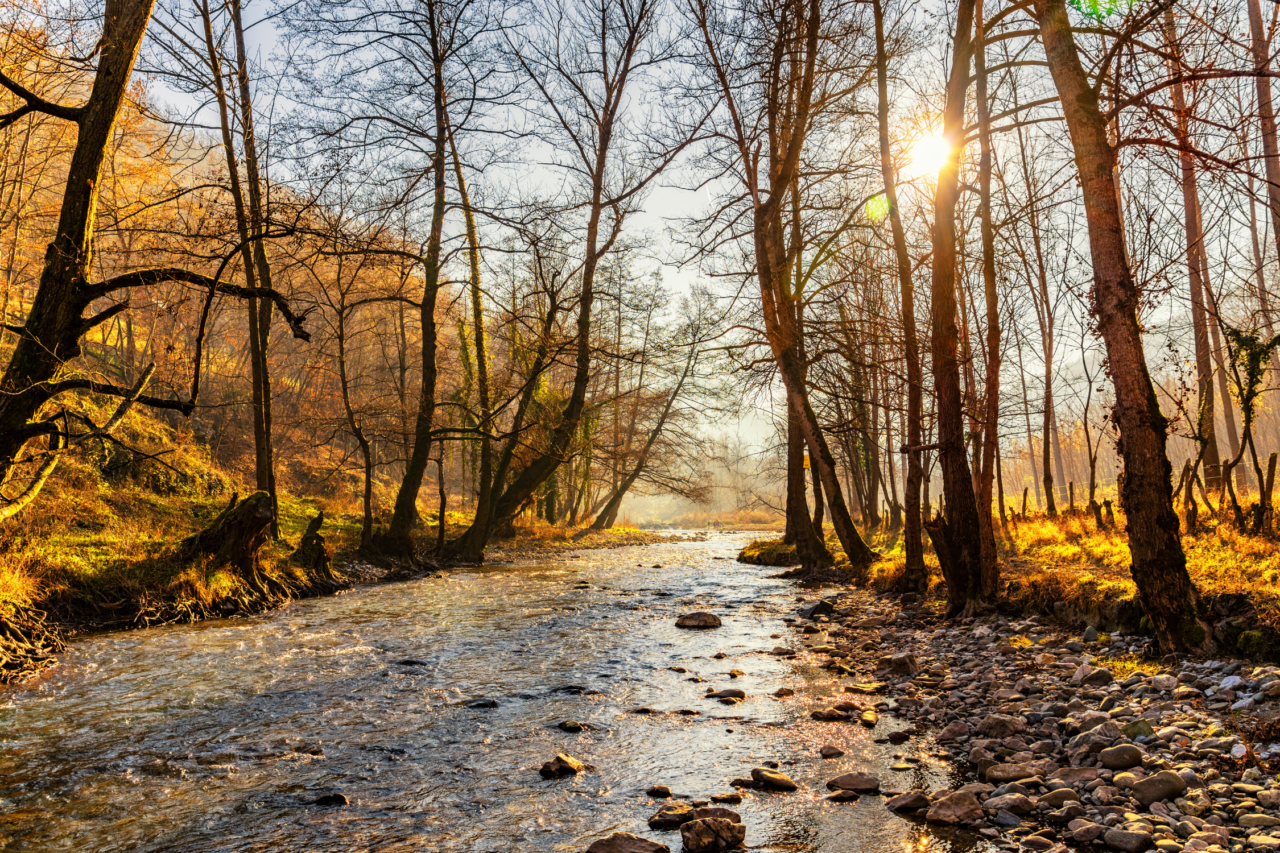
This shorter route remains close to the water and passes woodland, the remains of old mills and places where visitors stop for a picnic. Šareno Platno – “the Colourful Canvas” – is a broad meadow beneath a striking rocky slope and makes a natural turning point.
The path is not technically difficult, but it is less manicured than the routes on Kosmaj or Crni Vrh. Expect stones, roots and possibly muddy ground. Water levels may also affect small crossings and riverside sections after rain. The official trail registered by the Mountaineering Association of Serbia continues all the way from Valjevo to the Gradac spring, passing Ćelije Monastery and Šareno Platno.
Good to know: Check where you are leaving the car. Starting from the upper road above Ćelije can add a long staircase to the monastery. If you want the easiest possible walk, confirm access to the lower area locally and avoid turning the stairs into the hardest part of the day.
4. Dojkinci to Tupavica Waterfall: A Gentle Road Into Stara Planina
Best for: First-time mountain visitors who want a real destination
Starting point: The mountain lodge near Dojkinci
Distance: Approximately 9 kilometres return
Walking time: Around 2–3 hours without long stops
Difficulty: Easy to moderate because of the distance
Stara Planina is usually associated with serious mountain routes, remote peaks and long days on exposed terrain. Tupavica Waterfall offers a gentler introduction.
From the mountain lodge near the village of Dojkinci, the route follows a broad rural road beside the Dojkinačka River for approximately 4.5 kilometres. There are no technically demanding passages, and the gradual route is easier to follow than many narrow mountain paths.
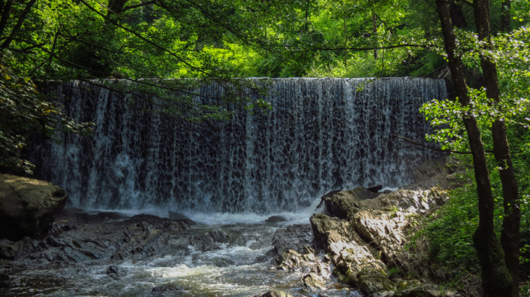
The waterfall lies only a short distance from the road. Water descends over layers of reddish rock, creating a wide cascade surrounded by forest. Its appearance changes considerably with the season: it is most powerful after periods of rain and quieter following a dry summer.
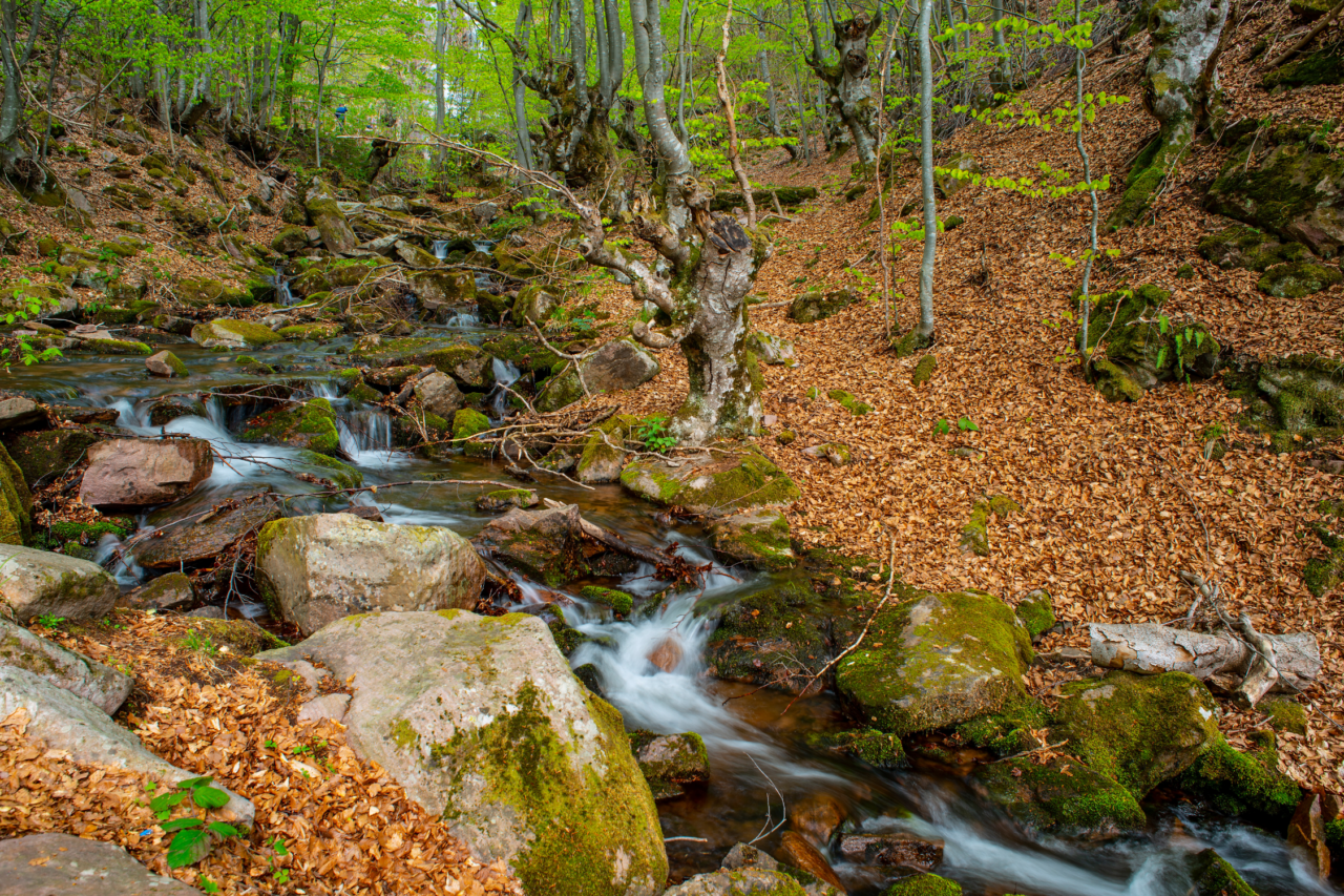
The walk is longer than the other routes in this guide, but its relatively simple terrain makes it manageable for beginners who are comfortable spending several hours outdoors. You can also turn back whenever necessary – the journey follows the same route in both directions.
The Tourist Organisation of Pirot describes Tupavica as easily accessible and located close to Dojkinci in one of the most attractive parts of Stara Planina Nature Park.
Good to know: Do not underestimate the return distance. Nine kilometres may feel easy during the cool morning but considerably longer later in the day. Begin early, carry water and do not rely on mobile reception. Access roads around Dojkinci can change after rain or roadworks, so check local conditions before departure.
5. The Visitor Trail Through Đavolja Varoš: Serbia’s Most Unusual Easy Walk
Best for: Travellers who want a remarkable landscape without a long hike
Starting point: Đavolja Varoš visitor entrance
Distance: Almost one kilometre each way
Difficulty: Easy to moderate, with stairs near the viewpoints
The walk to Đavolja Varoš proves that a trail does not need to be long to create a sense of discovery. From the entrance, a forest path leads for almost one kilometre towards the earth formations. Along the way, visitors pass mineral springs and small cultural details before reaching the wooden stairs and viewpoints overlooking the main gullies.
More than 200 earth pillars rise from the steep, eroded slopes, many carrying dark stone caps that protect the softer material beneath them. Their strange shapes inspired stories about petrified wedding guests and gave the site its name – Devil’s Town.
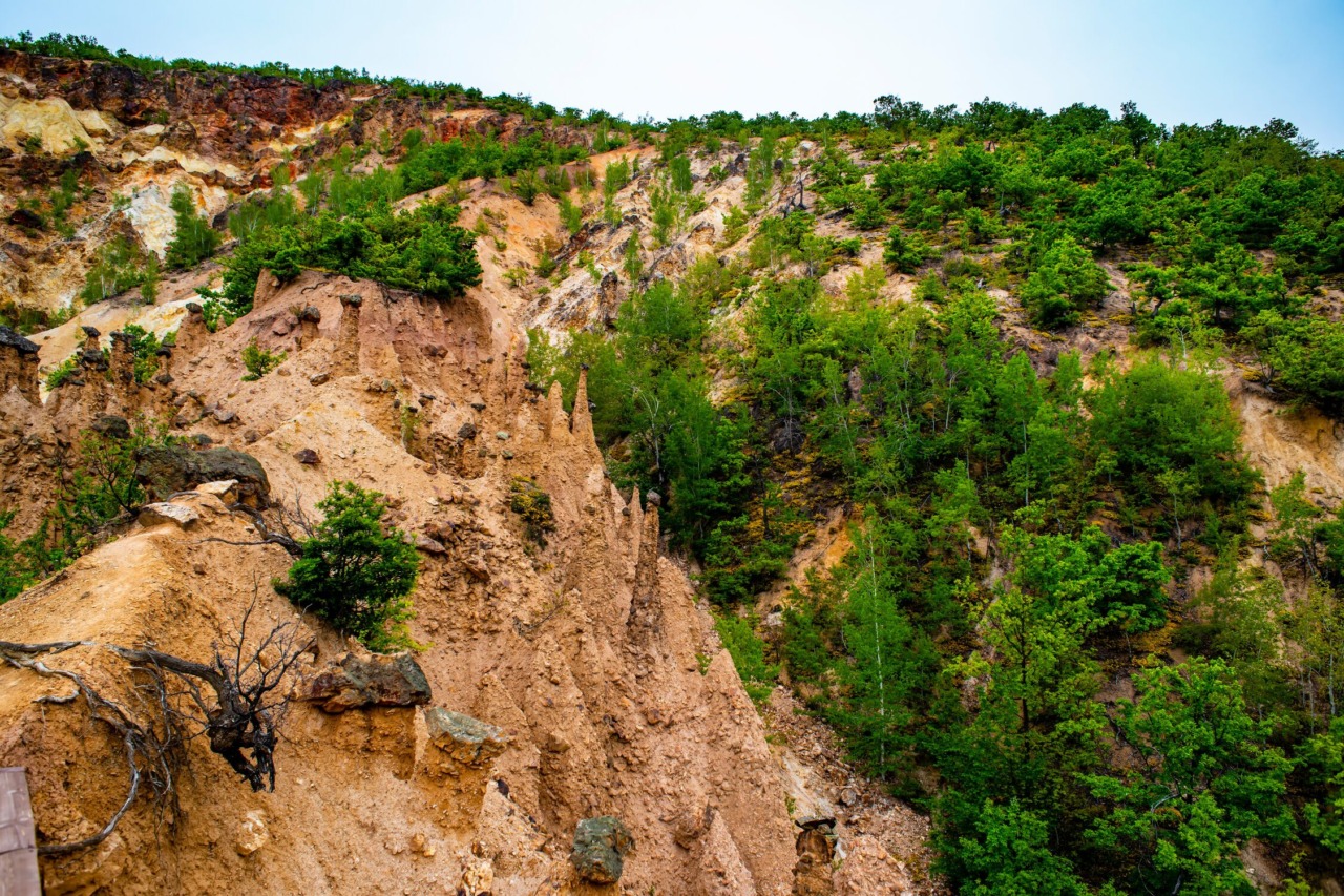
The path itself is short and requires no hiking experience. However, the final section includes stairs, and some viewpoints stand above steep terrain. Take your time, particularly if the wooden surfaces are wet.
Because the route is compact, Đavolja Varoš works well for travellers who want to combine nature with a wider journey through southern Serbia. Kuršumlija, Prolom Banja and the landscapes of Radan Mountain can all become part of the same trip.
Good to know: Opening times and access conditions can change seasonally. Check the official visitor information before making the journey, particularly outside the main spring-to-autumn season.
What “Easy” Should Mean Before You Set Out
Trail difficulty is subjective. A three-kilometre forest path can feel simple to one person and tiring to another. Heat, mud, unsuitable footwear and a lack of water can make even a short route uncomfortable.
Before choosing a walk, consider more than distance:
- Is the route circular or will you need to walk back the same way?
- How much climbing is involved?
- Is the surface paved, sandy, rocky or muddy?
- Are there toilets, drinking water or places to rest?
- Will you have mobile reception?
- Can you comfortably turn back before reaching the destination?
The routes in this guide are suitable introductions to walking in Serbia, but they are not uniformly accessible to wheelchairs, pushchairs or people with limited mobility. Natural trails can change after rain, fallen trees or seasonal maintenance.
Download an offline map where possible, tell someone where you are going and leave enough daylight for the return.
You Do Not Have to Reach the Highest Point
Hiking culture often focuses on numbers: kilometres, elevation, speed and summits. But walking through Serbia does not have to be about conquering anything. It can mean following the Gradac until you find the right meadow for a break. It can mean spending an hour beneath the trees on Kosmaj, completing a quiet loop through the Banat Sands or reaching a waterfall without needing to climb a mountain.
These routes offer enough wilderness to interrupt everyday life, but not so much difficulty that the experience becomes intimidating. You do not need to call yourself a hiker. You only need comfortable shoes, a little time and a path that makes you want to see what lies beyond the next turn.